Where to go
Oxford neighbourhoods
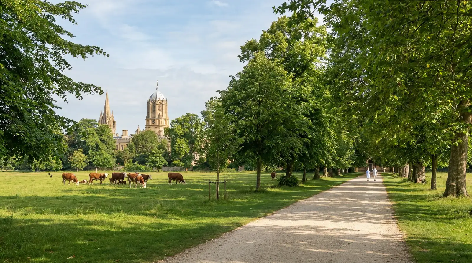
Walk Oxford’s college lanes, follow Jericho’s canal and find cafés, village pubs and riverside paths across the city.
Browse the districtsStart in the City Centre for colleges, museums and the Covered Market. Jericho pairs Walton Street cafés with the canal; across Magdalen Bridge, Cowley Road has the restaurants and live music, while St Clement’s leads towards South Park. For a walk from the railway station, start at Osney Island. Iffley and Wolvercote offer longer outings beside the Thames.
9 districts
Explore Oxford’s
neighbourhoods.
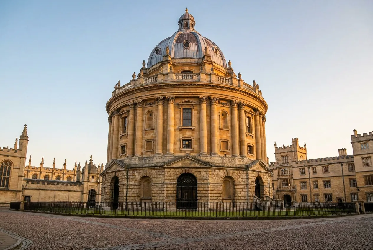
Around Radcliffe Square and Broad Street
City Centre
Colleges, university libraries, museums and market lanes in the historic centre.
Start at Radcliffe Square for the Bodleian and the Sheldonian, then head to the Covered Market for lunch or into the lanes for the Turf Tavern.
Places to explore (21)
- City CentreOxford’s colleges and libraries, four museums, Covered Market, four restaurants and six historic pubs, brought together in one city-centre guide.
- The Radcliffe CameraThe Radcliffe Camera
- University Church of St Mary the VirginUniversity Church of St Mary the Virgin
- Bodleian Library guided tourBodleian Library guided tour
- The Bridge of SighsThe Bridge of Sighs
- Sheldonian TheatreSheldonian Theatre
- Christ ChurchChrist Church
- The Ashmolean MuseumThe Ashmolean Museum
- History of Science MuseumHistory of Science Museum
- Oxford University Museum of Natural HistoryOxford University Museum of Natural History
- Pitt Rivers MuseumPitt Rivers Museum
- Oxford Covered MarketOxford Covered Market
- Quod Restaurant & BarQuod Restaurant & Bar
- The AliceThe Alice
- TreadwellTreadwell
- Parsonage GrillParsonage Grill
- The Bear InnThe Bear Inn
- The Turf TavernThe Turf Tavern
- The King’s ArmsThe King’s Arms
- The Lamb & FlagThe Lamb & Flag
- The White HorseThe White Horse
- The ChequersThe Chequers
Northwest of the centre
Jericho
Terraced streets between Walton Street and the Oxford Canal.
Follow the towpath towards Port Meadow by day, or pair a film at the Phoenix Picturehouse with dinner or a pub on Walton Street.
Places to explore (11)
- JerichoThe full Jericho guide: cafés, restaurants, the Phoenix and backstreet pubs.
- Barefoot JerichoHandmade cakes and coffee on Walton Street.
- Opera CaféMoroccan wraps, soups and a covered rear terrace.
- BrancaMediterranean dining and a walled garden opposite the cinema.
- ZhengMalaysian cooking at the northern end of Walton Street.
- Phoenix PicturehouseTwo screens and an upstairs bar on Walton Street.
- The Old Bookbinders Ale HouseReal ale and French bistro food on Victor Street.
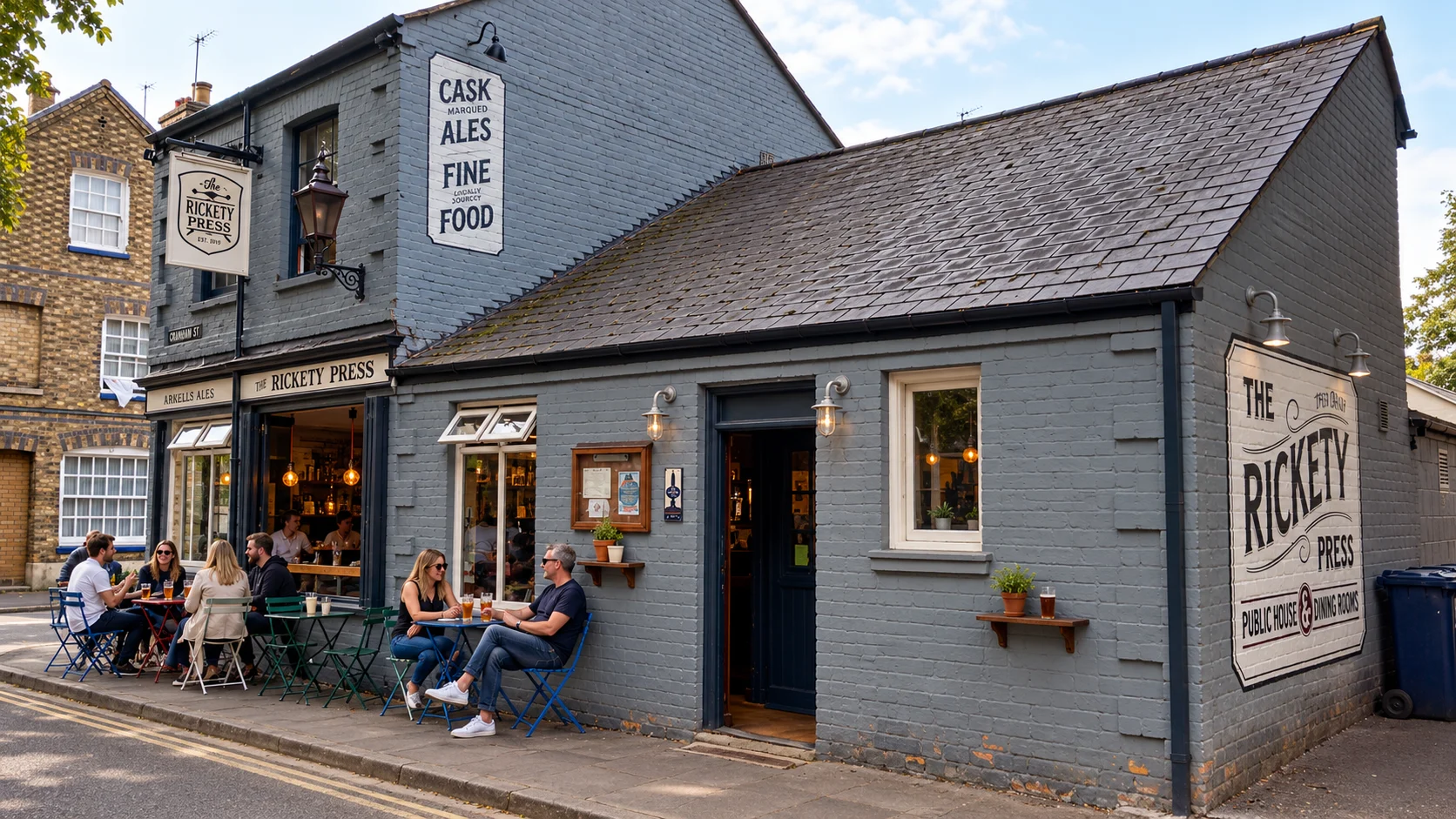
- The Rickety PressPizza, pints and window tables on Cranham Street.
- The VictoriaShortcrust pies, whisky flights and a garden on Walton Street.
- Jude the ObscureGreen-panelled rooms, garden seating and live sport.
- The Gardeners ArmsVegetarian and vegan pub food and a grass garden on Plantation Road.
- Giggling SquidThai lunch tapas and floral dining rooms near the Phoenix.
North of the centre
Summertown
Bookshops, bakeries and cafés on Banbury Road, with restaurants along South Parade.
Browse the Sunday market or Daunt Books by day. For an evening, try South Parade for dinner and The North Wall for a performance.
Places to explore (16)
- SummertownThe full Summertown guide: cafés, restaurants, the arts centre, books and Sunday market.
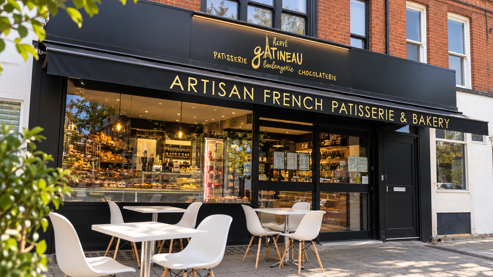
- Gatineau — SummertownFrench bread, viennoiserie, individual cakes and chocolates at Summertown’s independent patisserie, with coffee and window seating.
- Colombia Coffee Roasters — SummertownA specialist Colombian coffee café on Banbury Road, with beans to take home and outdoor tables beside the shopfront.
- The Meet Point Coffee — SummertownA courtyard café at The Cluster, with locally roasted coffee, chai and Indian street food away from the Banbury Road frontage.
- Kitchen Food CompanyAn independent Banbury Road deli with quiches, salads, savoury rolls, cheese and provisions, plus coffee and terrace seating.
- PompetteA French restaurant and wine bar on South Parade, with a burgundy-banquette dining room, seasonal menus and an upstairs private room.
- Mamma Mia — SummertownSummertown’s long-established Italian pizzeria, with a red shopfront, a spacious dining room and a location close to The North Wall.
- Burnout BBQ — SummertownAn American-style smokehouse with brisket, pulled pork, ribs and wings, plus a hot-rod-themed dining room on Banbury Road.
- Spice LoungeAn evening Indian restaurant at the southern end of Summertown’s shops, with tandoori dishes, biryanis and terrace dining in fine weather.
- Xi’anA Chinese restaurant on Banbury Road with broad noodles, chilli-oil dumplings, aubergine hot pot and a wide menu for sharing.
- The DewdropA set-back Summertown pub with a courtyard of timber tables, green parasols and a pergola beside the Banbury Road approach.
- OXTWOA Summertown restaurant and wine bar with seasonal sharing plates, an open bar area, Sunday roasts and live-music dates.
- The North Wall Arts CentreA South Parade arts centre with theatre, music and exhibitions, combining a former Victorian swimming pool with contemporary timber-lined spaces.
- Daunt Books SummertownAn independent Banbury Road bookshop with fiction, non-fiction, children’s books, staff recommendations and author events.
- Grape Minds — SummertownA wine shop with bottles from around the world, beers and spirits, plus separately scheduled tastings at its Summertown branch.
- Summertown Farmers’ MarketSummertown’s weekly Sunday market on Banbury Road, running from 10:00 to 14:00 alongside the neighbourhood shops.
- Alexandra ParkA compact park between Middle Way and Woodstock Road, with tennis courts, a playground, basketball and space for a picnic.
East of the centre
Cowley Road / East Oxford
Restaurants, backstreet pubs and live music along Cowley Road and its side streets.
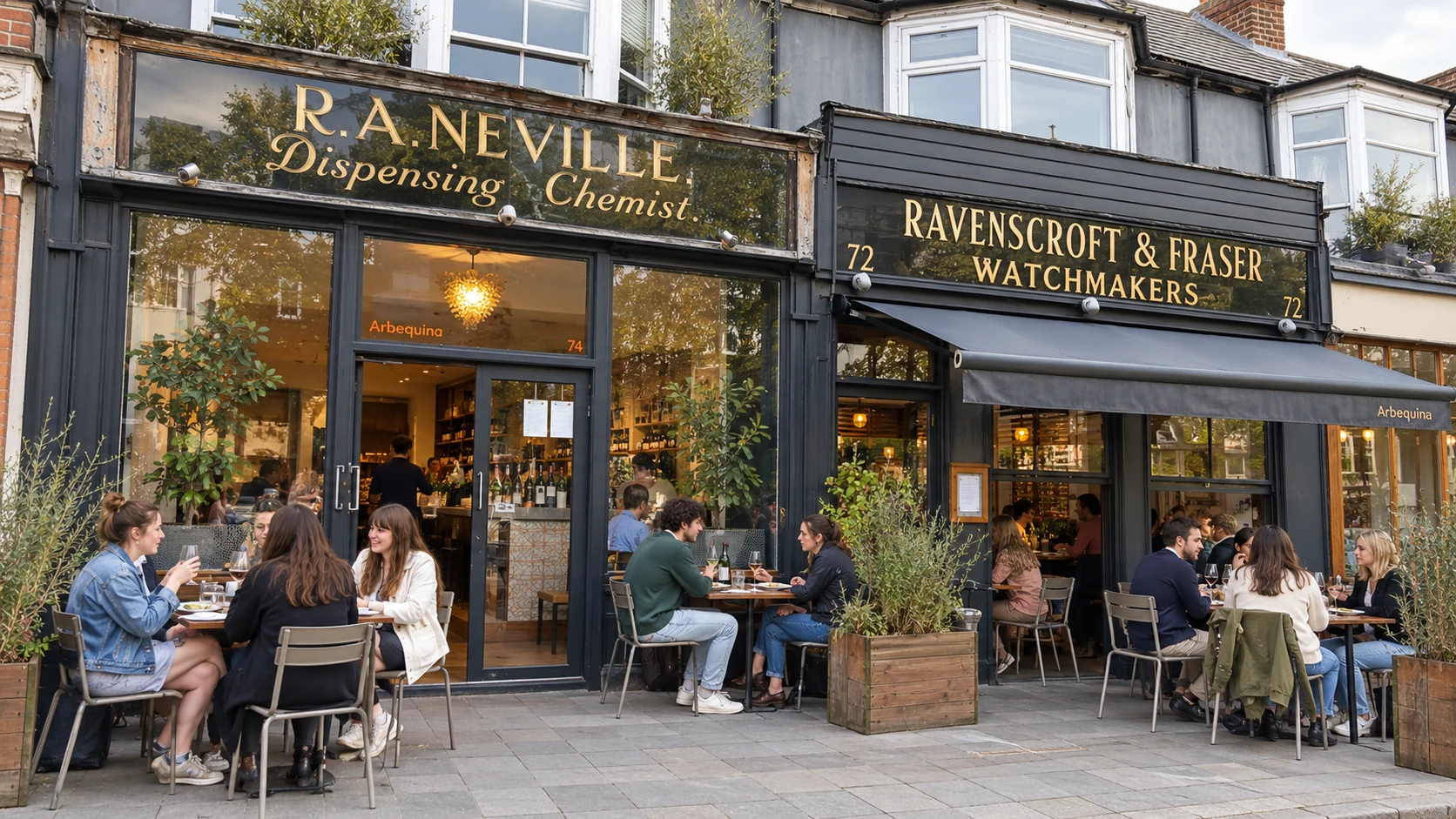
Tapas at Arbequina or Kazbar, record browsing at Truck Store and live music or comedy at the Bullingdon.
Places to explore (13)
- Cowley Road / East OxfordBrunch, Caribbean and Japanese cooking, Turkish grills, backstreet pubs, independent cinema, touring bands and record browsing in East Oxford.
- Café CoCoA long-established Cowley Road café for eggs, pistachio French toast, pizza and evening cocktails.
- Arbequina — Cowley RoadSpanish sharing plates, a long zinc counter and restored Victorian shopfronts at 72–74 Cowley Road.
- KazbarSpanish and Moroccan sharing plates in a yellow-fronted bar with a glazed conservatory and lantern-lit dining rooms.
- Spiced RootsFamily-run Caribbean cooking, from doubles and kingfish to oxtail and Trini-style lamb, in a small Cowley Road restaurant.
- Antep KitchenTurkish charcoal grills, meze and sharing platters, with booths and woven pendant lights farther along Cowley Road.
- Za’atar BakeFresh flatbreads, filled fatayer, meze and baklava behind the awning at 166 Cowley Road.
- TaberuSushi, bento, ramen and donburi at 100 Cowley Road, with lunchtime and evening service.
- The StarA traditional Rectory Road pub with timber floors, changing ales and a large rear garden in the warmer months.
- The LibraryAn independent pub near the O2 Academy, with a front bar, rear garden and a downstairs programme of gigs and DJs.
- The Rusty BicycleDodo’s original pub, with pizza, burgers, window tables and a courtyard garden on Magdalen Road.
- The BullingdonLive bands, club nights and comedy behind a Cowley Road cocktail bar; tickets and age limits depend on the event.
- O2 Academy OxfordTouring bands and club nights in the former Zodiac, with separate main-room and Academy2 event listings.
- Truck StoreIndependent vinyl and CD browsing beside Mostro Coffee, with album launches and in-store events on Cowley Road.
East, up the hill
Headington
Large mixed suburb on the hill east of the city, home to major hospitals and Oxford Brookes University.
See the Headington Shark from New High Street, then walk through Bury Knowle Park to the stone pubs of Old Headington.
Places to explore (6)
- HeadingtonOld Headington pubs, Italian deli lunches, Jacobs & Field brunch, the rooftop Shark and the lawns, carvings and games of Bury Knowle Park.
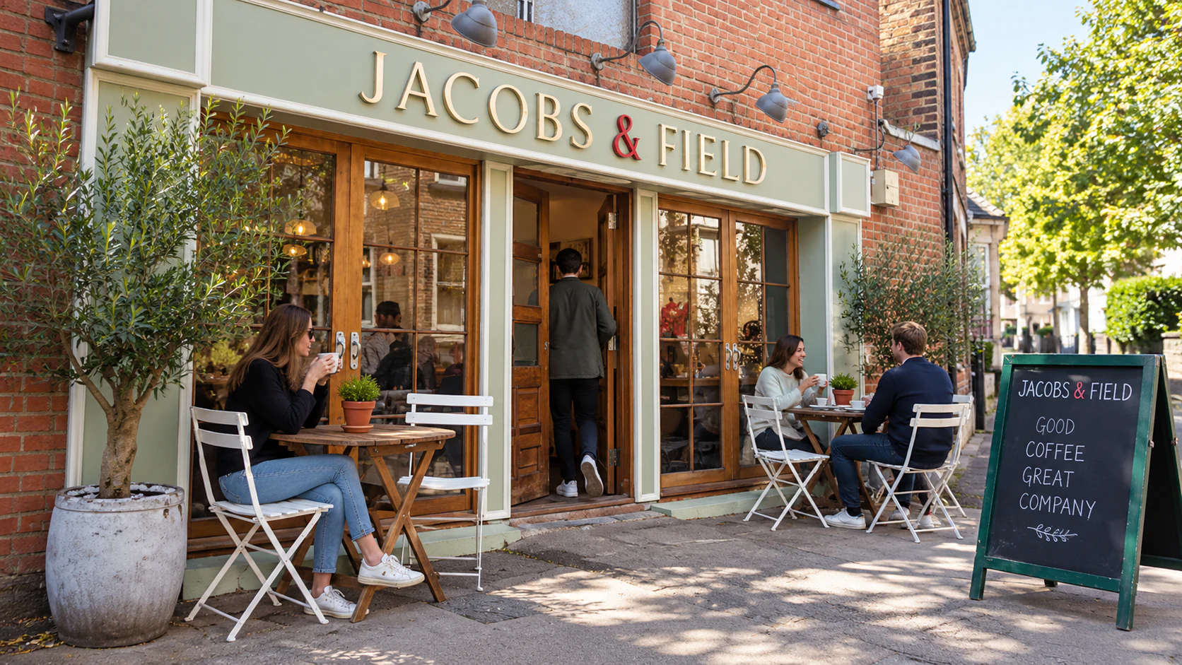
- Jacobs & FieldBrunch, proper coffee and substantial lunches in a café with timber tables, exposed brick and vintage signs on Old High Street.
- Il Botanico — HeadingtonAn Italian coffee shop and deli on Windmill Road, with filled focaccia, arancini, cannoli and a glass-fronted counter.
- The White Hart — HeadingtonReal ales, a changing choice of pies and a stone-walled garden at an old village pub on St Andrew’s Road.
- The Black Boy — HeadingtonA village pub on Old High Street, with real ales, a bar lounge and separate dining rooms beside the streets of Old Headington.
- Headington SharkJohn Buckley’s 25-foot shark plunges into the roof of a brick house on New High Street. View it from the public pavement.
- Bury Knowle ParkPark lawns, Headington Library, carved wooden characters, a playground and Courtside’s café, tennis and mini golf behind the shops.
West, by the station
Osney Island
Small, tranquil residential island of Victorian cottages hemmed by channels of the Thames.
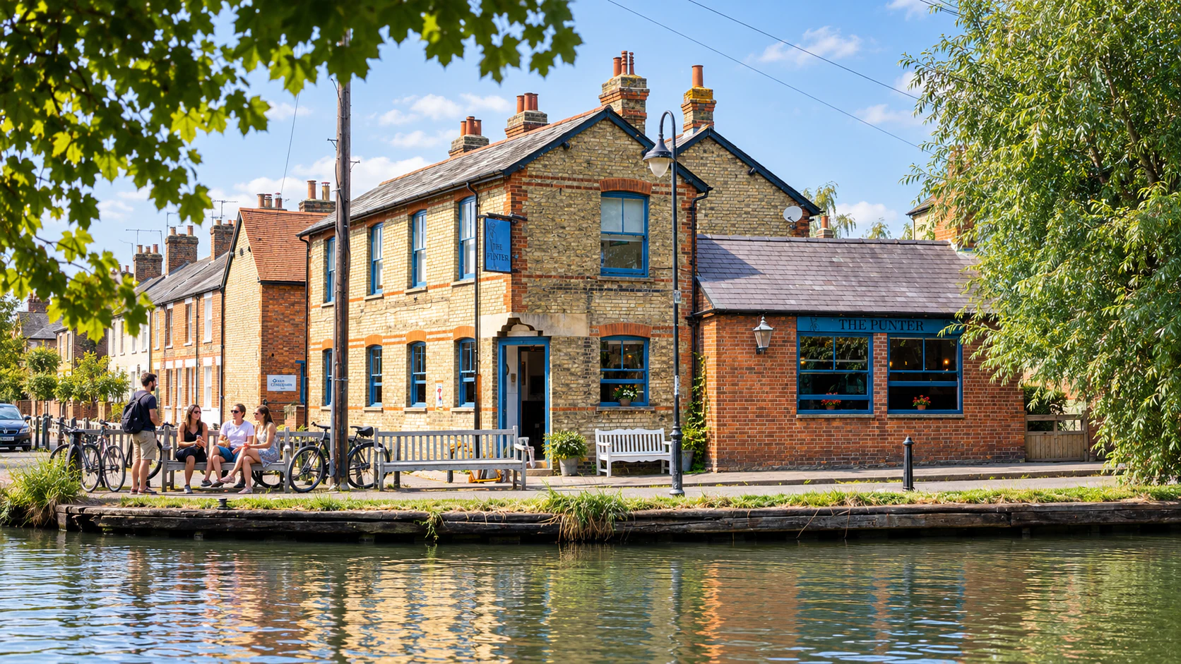
From the railway station, head west for South Street, The Punter and the towpath to Osney Lock.
Places to explore (3)
- Osney IslandA riverside walk through Osney’s terraced streets, with The Punter, The Holly Bush, a working Thames lock and community hydro.
- The PunterA riverside pub on South Street, with blue-framed windows, timber dining rooms and a seasonal menu beside the Thames Path.
- The Holly BushStone-baked pizzas, craft beer and a rear beer garden at the corner of Bridge Street and West Street on Osney Island.
- Osney LockA working Thames lock, towpath and community hydro beside Osney Island, with boat traffic and river engineering to watch from public paths.
East, beyond Magdalen Bridge
St Clement’s
Compact inner district of pubs, small shops and Victorian terraces just over the river from the centre.
Cross Magdalen Bridge for pubs and Sri Lankan cooking, then climb South Park for a view back across the spires.
Places to explore (4)
- St Clement’sSri Lankan small plates at The Coconut Tree, two distinctive pubs and views across Oxford from South Park.
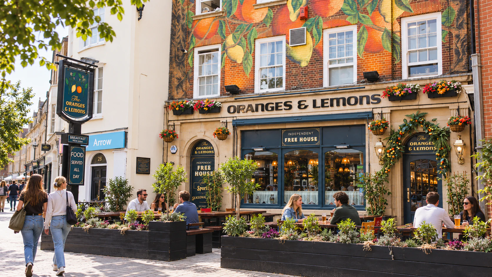
- The Oranges & LemonsA St Clement’s pub with a full-height citrus mural, red banquettes, independent ales, breakfast and a rear garden.
- The Port MahonA stone-fronted St Clement’s pub with timber-panelled rooms, a wood-burning stove, a dining room and Sunday roasts.
- South Park OxfordA 50-acre hillside park with views across Oxford’s skyline, open lawns, mature trees, a playground and a fitness trail.
- The Coconut Tree OxfordSri Lankan hoppers, kotthu and small plates in the former Globe, with a corner entrance on St Clement’s Street and Cave Street.
South, along the Thames
Iffley village & lock
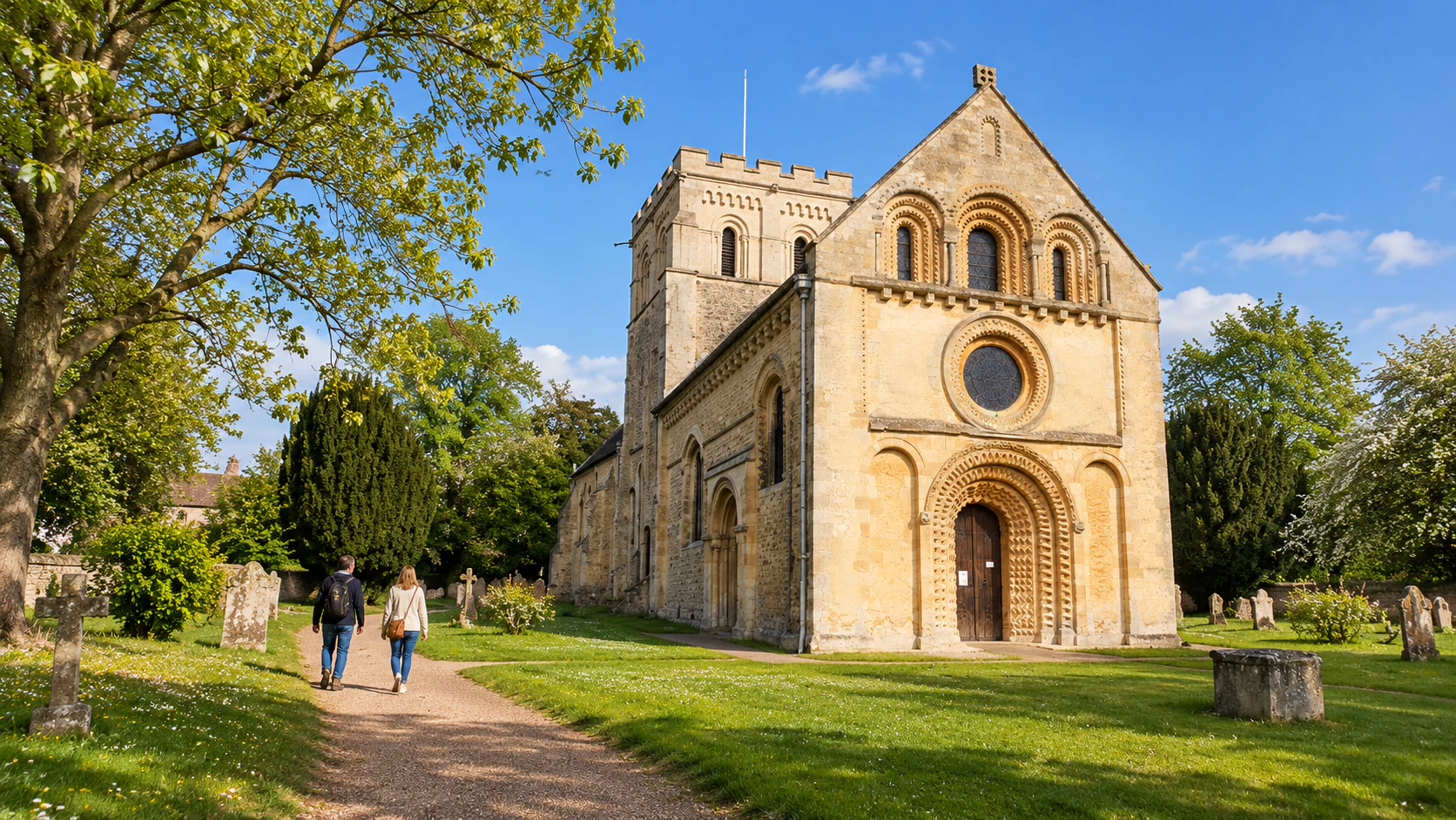
A preserved former village of thatched cottages within the city, famous for one of England's finest Norman churches.
The 12th-century church of St Mary the Virgin and the scenic Iffley Lock make a classic riverside walk from the centre; the towpath here is prime rowing territory.
Places to explore (4)
- Iffley village & lockSt Mary’s Norman church, Iffley Lock, the Prince of Wales and British and European cooking at Frank’s Restaurant in Hawkwell House.
- St Mary the Virgin IffleyA Norman village church with a carved west doorway, a circular window and a sequence of stone arches leading to the chancel.
- Iffley LockA working Thames lock beside the public towpath, with gates, passing boats and a riverside route back towards Oxford.
- The Prince of Wales IffleyA blue-grey village pub on Church Way, with real ales, seasonal British cooking, Sunday roasts and tables beside a large old tree.
- Frank’s RestaurantBritish and European cooking at Hawkwell House, with green banquettes, blue panelling and a Sunday roast menu.
Northwest, beyond Port Meadow
Wolvercote & Godstow
Semi-rural northern village on the edge of Port Meadow and the canal.
The Trout Inn at Godstow, the ruins of Godstow Abbey and the northern access to Port Meadow make it a favourite riverside pub-walk destination.
Places to explore (4)
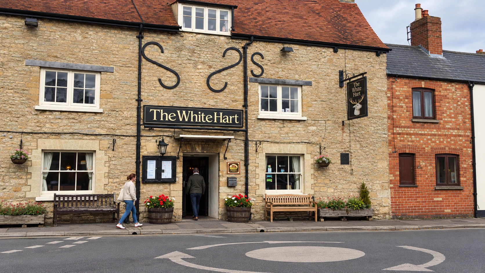
- Wolvercote & GodstowExplore the White Hart and Plough, the Trout Inn beside Godstow Bridge and the abbey ruins along the Thames Path.
- The White Hart WolvercoteA community-run Godstow Road freehouse with local ales, pizza evenings, a pool room, garden and Sunday community market.
- The Plough WolvercoteA traditional pub beside Upper Wolvercote Green, with a terrace, book-lined dining room, British cooking and changing vegetable specials.
- The Trout InnA historic Wolvercote inn with a waterside terrace beside the bridge and weir at Godstow.
- Godstow AbbeyA ruined Benedictine nunnery beside the Thames Path, with a roofless chapel, medieval enclosure walls and traces of a much larger abbey.
Riverside paths can flood. Check the route and the opening arrangements of any venue you are travelling out to visit.
Keep planning