Where to go
Cambridge areas & neighbourhoods
Cambridge beyond the colleges — the useful visitor districts, what each is like, and why you'd make the trip out.
Browse the districtsThe colleges and museums cluster in the compact centre, but Cambridge's character spreads into a ring of distinct districts, most a short walk or cycle from Market Hill. Here's how to read the ones worth your time.
6 districts
Pick a
direction.
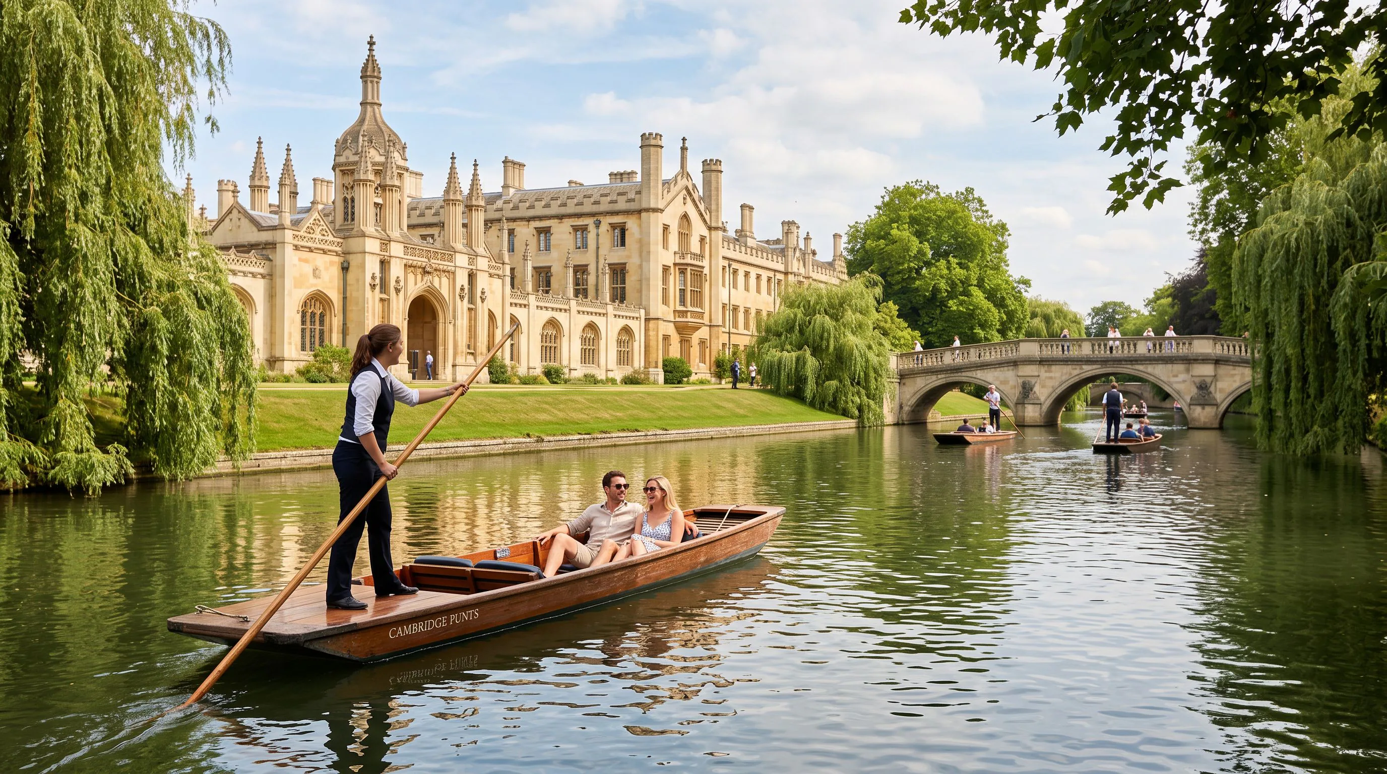
Mill Road
Long, independent-minded Victorian street running south-east from the centre through Petersfield and Romsey, split in two by the railway bridge.
The city's best stretch of independent cafes, international grocers, restaurants and second-hand shops, with a winter fair each December; an easy 15-minute walk from the centre for eating and browsing away from the college crowds.
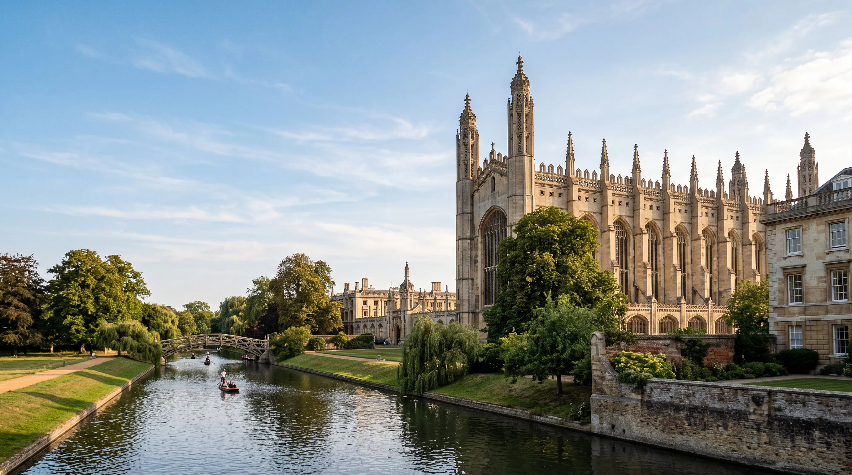
Castle Hill
The oldest part of Cambridge, on the rising ground north-west of Magdalene Bridge where the Roman town and Norman castle stood.
Castle Mound's free city view, Kettle's Yard house and gallery, the Museum of Cambridge in the old White Horse Inn, St Peter's tiny church and a clutch of good pubs, all a few minutes' walk over the river from the centre.
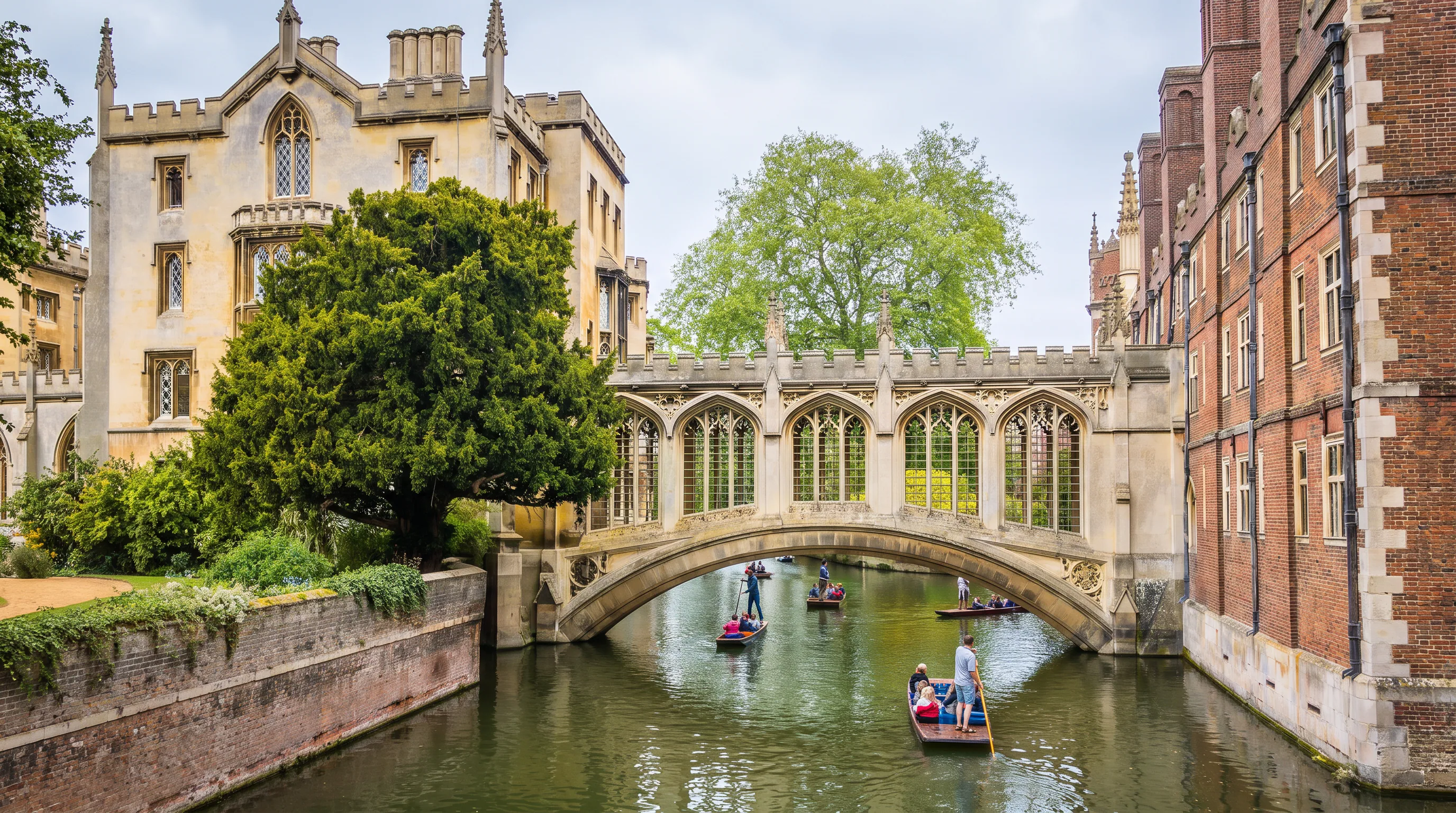
The Kite
Kite-shaped grid of nineteenth-century terraces between the centre and Midsummer Common, largely rebuilt around the Grafton Centre in the 1980s.
King Street's pubs, Fitzroy Street shopping and quick cut-throughs to Midsummer Common and the river; a practical, lived-in quarter minutes east of the historic core.
Newnham and Grantchester
Leafy village-like suburb south-west of the centre, giving way across Grantchester Meadows to open riverside countryside.
The start of the Grantchester Meadows walk and the upper-river punt route, Newnham College's Queen Anne-style courts, local cafes and the Orchard Tea Garden and pubs at Grantchester itself; the easiest escape from city to meadow on foot.
Chesterton and Riverside
Riverside district north-east of the centre along the lower Cam, mixing Victorian terraces, boathouses and the old village core of Chesterton.
Towpath walks past the college boathouses and rowing crews, the Green Dragon and other river pubs, Stourbridge Common's grazing cattle and a flat riverside route out towards Fen Ditton; Cambridge North station sits at its far edge.
Station quarter
The modern CB1 development around the railway station, with new squares, offices and hotels leading up Hills Road towards the centre.
Where most visitors arrive; useful hotels and chain dining, the Cambridge University Botanic Garden entrance on nearby Trumpington Road, and Parker's Piece a short walk up the road — a practical base rather than a sightseeing destination.
Distances are small: nothing listed here is more than half an hour on foot from the market square, and most are far closer.
Keep planning