The essential travel guide
Shotover Country Park
Woodland walks, open hilltop ground and signed routes on Oxford’s eastern edge, with free admission and a choice of short or longer outings.
Highlights · Visit · Nearby · Questions
01 The experience
What to expect.
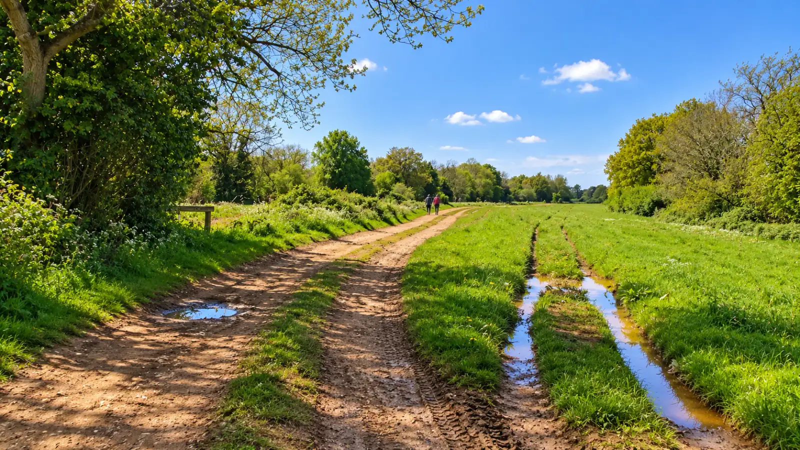
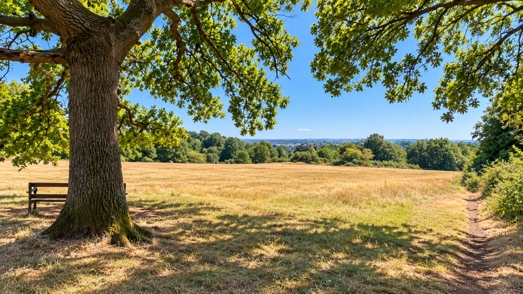
Shotover is the Oxford outing for people who want woodland rather than another college lawn. The country park covers 117 hectares on the southern slopes of Shotover Hill, east of Headington. Open ground, sandy paths and wooded hollows give it a different character from the flat river walks in the centre. It deserves its own part of the day: reaching the hill and returning to town are part of the visit, rather than a few minutes between museum stops.
The simplest first visit begins beside Mary Sadler’s Field, near the Old Road car park. Three signed walking trails leave from this area. The red trail is the short choice, with a published walking time of around half an hour; yellow takes about forty-five minutes; green is the longer outing at roughly two hours. Those times help choose the scale of a walk, rather than promising a particular running distance. Allow additional time for a picnic, children’s exploration and wet ground.
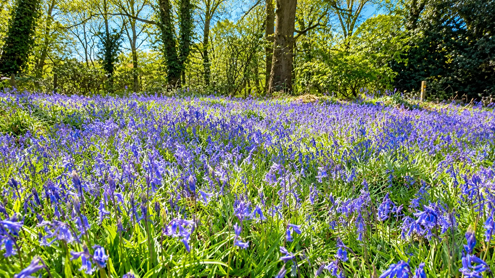
Shotover’s variety comes from its soils and changing elevation. Most of the park lies within a Site of Special Scientific Interest, so the woodland, grassland and heath are habitats as well as scenery. Bluebells are a spring subject, while bracken, open rides and mature trees give other parts of the year their character. Keep to appropriate paths and leave flowers, fallen wood and wildlife undisturbed. A gallery showing several seasons is a guide to the landscape, rather than a promise that every flower will be present on your visit.
The hill also explains the name Old Road. Shotover was part of a royal forest until the seventeenth century, and the former Oxford–London route crossed this landscape. Restoration work from the 1970s helped shape the public country park. The old road and open field offer a useful orientation before taking a smaller woodland path; they do not turn every branching track into the signed route you chose.
Families can combine a shorter trail with the sandpit area instead of committing everyone to the longest circuit. Orienteering offers another way to explore: the park has red-and-white control posts, with map information available through the council and Thames Valley Orienteering Club. Use the current course information for a specific orienteering outing. Walking trails and an orienteering course are different ways of navigating the same landscape.
Cycling and horse riding are restricted to permitted paths, marked with blue arrows, across about five kilometres of route. The presence of bikes on the hill is not permission to ride every walking trail. For runners, the attraction is the changing ground and woodland setting; for a first visit, follow a signed route in daylight rather than treating the park as a measured road-running course. The lower Brasenose Farm approach is the more relevant starting point when accessible paths matter, while Old Road suits the main signed-trail start.
Make it work
Plan your visit.
Woodland walks, open hilltop ground and signed routes on Oxford’s eastern edge, with free admission and a choice of short or longer outings.
Free park admission
Free public access throughout the year. Choose daylight for unlit woodland trails.
The main approach is from Old Road, Headington, OX3 8TA, with a free council car park. Bus stops around Old Road, Horspath Road and The Slade leave an uphill walk of about 15–20 minutes. The map pin marks the Old Road visitor map and walking-route start area.
No booking is required for an ordinary walk. Bring footwear for uneven ground; arranged events and organised activities have separate permissions.
Visit your way
Access and family planning.
This is a hill with woodland tracks, uneven ground and muddy sections. Lower parts have more accessible paths from Brasenose Farm beside the Eastern Bypass; this is a different approach from the Old Road start. Choose the entrance and route for your needs rather than assuming the whole park is step-free.
See it
In pictures.
10 views, full screen. Tap any one to open the viewer.Around here
Make more of the area.
Good to know
Questions, answered.
Is Shotover Country Park free?
Yes. Ordinary public access is free throughout the year. Organised activities and events may have separate arrangements. Official visitor information
Where do the signed walks at Shotover Country Park near Oxford start?
The red, yellow and green trails at Shotover Country Park near Oxford start by Mary Sadler’s Field near the Old Road car park. Allow about 30 minutes, 45 minutes and two hours respectively. Official visitor information
Can I cycle at Shotover?
Use the permitted horse-riding and cycling paths marked with blue arrows. About five kilometres are designated; the walking trails are not all cycle routes. Official visitor information
Is Shotover Country Park near Oxford wheelchair accessible?
The hill at Shotover Country Park near Oxford has uneven tracks and gradients. More accessible paths run through the lower areas from Brasenose Farm beside the Eastern Bypass. Official visitor information
How do I reach Shotover Country Park near Oxford without a car?
For Shotover Country Park near Oxford, bus stops around Old Road, Horspath Road and The Slade leave a roughly 15–20-minute uphill walk. Allow this in addition to the park trail. Official visitor information
Can I park at Shotover?
The council lists a free main car park off Old Road, OX3 8TA. Arrive using the signed entrance; the map pin identifies the visitor-map and trail-start area. Official visitor information
Editorial notes
Sources and further reading.
Sources for this guide
Reviewed 2026-11-01.
- https://www.oxford.gov.uk/directory-record/668/shotover-country-park
- https://photon.komoot.io/api/?q=Shotover%20Country%20Park%20Oxford&limit=5
Opening hours, prices, programmes and access arrangements can change. Confirm critical details with the venue.
Continue exploring / Oxford
More to explore
in Oxford
Find another place for your itinerary, or explore all things to do in Oxford.
 Walks & viewsBury Knowle ParkExplore experience →
 Walks & viewsHeadingtonExplore experience →
 Food & drinkIl Botanico — HeadingtonItalian deliExplore experience →Food & drinkJacobs & FieldBrunchExplore experience →