Venntrilogie Stage 4: Botrange to Malmedy
Hike the Bayehon and Trôs-Marets valleys on the 19.9 km stage from Signal de Botrange to Malmedy.
01 / The experience
From Belgium’s highest point to the streets of Malmedy
Hike the Bayehon and Trôs-Marets valleys on the 19.9 km stage from Signal de Botrange to Malmedy.
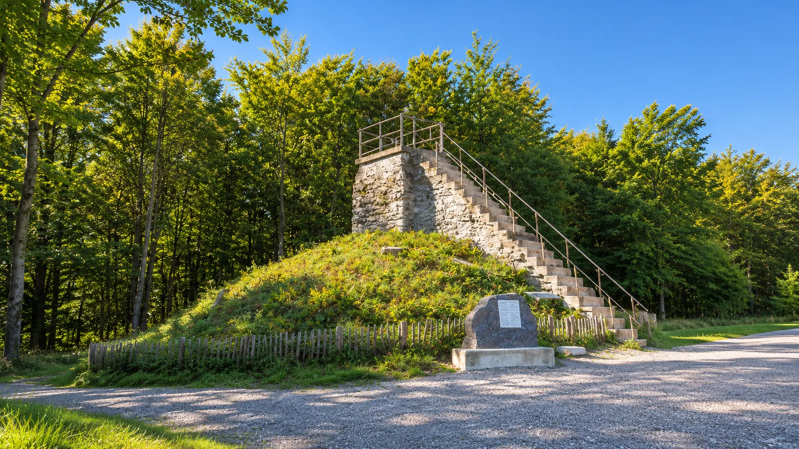
At Signal de Botrange a short flight of stone steps carries you above Belgium’s highest natural ground. The steps were built to bring the standing height to 700 metres. The Venntrilogie spends the rest of this stage giving that height back, with a few hard climbs along the way. From the summit it starts on gravel paths towards the Maison du Parc. The forest and the first steep descent come soon after.
The Ghastèr leads into the Bayehon valley. The change is abrupt, from a broad plateau to banks where tree roots and boulders crowd the water. The Cascade du Bayehon comes into view in a wooded fold, and the trail stays close to the stream before rising again towards the Fagne de Setay. The open stretches can feel exposed, even when the valleys below are sheltered. The different surfaces and gradients are part of what makes this stage feel like a journey between two places.
The Trôs-Marets gorge brings another stretch of narrow water and rough footwork. Walkers who know the short blue-square loop from Ferme Libert will recognise the stream, though here it is one part of a much longer day. Malmedy’s cathedral comes into view near Ferme Libert. The route still has steep ground to cover past the Saint-Antoine chapel and through the woods of the Butte Chaumont before you reach town. The last descent rewards a little time in hand, especially after a wet week.
This is a full 19.9 km stage, with 337 metres of ascent and 672 metres of descent. Allow six to eight hours walking. The logistics are easiest when the vehicle or onward bus is in Malmedy and you have arranged the morning journey to Botrange. By the time the cobbles replace the forest floor, the cathedral and the former monastery of the Malmundarium are close enough to take in from the square. Leave a museum visit for another day if your finish is late.
Highlights
- 01
19.9 km one way · 6–8 hours walking
- 02
Demanding point-to-point hike
- 03
Free hike
- 04
Technical descents and a separate return journey
04 / Before you go
Plan your visit
Prices & access
The self-guided route is free. Allow separately for transport.
When to go
Start early enough to finish in daylight. Check current reserve closures and follow local signs.
Rocky descents and streamside paths are slower in the wet. Fire risk or other reserve restrictions can close sections.
Arrival & access
Begin at Signal de Botrange. The Maison du Parc is a later stop on the trail. TEC buses serve the summit stop from the Verviers and Eupen directions.
Route de Botrange 133, 4950 Waimes, Belgium
Download the official GPX and bring grippy footwear, food, water and layers for the plateau.
Plan your visit
Download the stage GPX and settle your return from Malmedy before you start.
Accessibility
The route climbs 337 metres and descends 672 metres. It has steep, uneven sections and is unsuitable for pushchairs.
Location & nearby places
Continue exploring / the Ardennes during F1
More to explore
in the Ardennes during F1
Find another place for your itinerary, or explore all things to do in the Ardennes during F1.
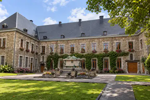 Heritage visitsMalmundariumExplore experience →
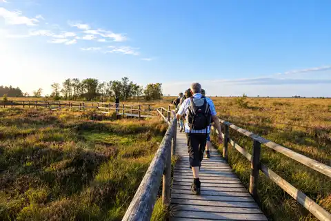 Outdoor activities & sportHigh Fens · private nature-guided walkExplore experience →
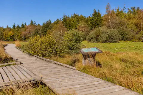 HikingPoleur–Venn boardwalkExplore experience →
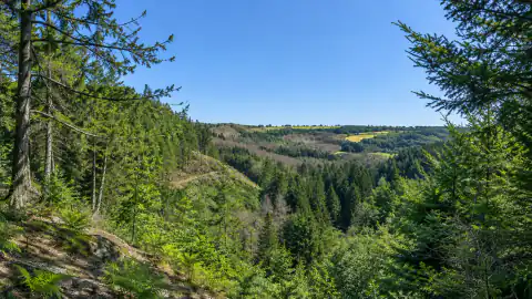 HikingTrôs-Marets gorge walkExplore experience →
Good to know
Venntrilogie Stage 4: Botrange to Malmedy: frequently asked questions
Is Venntrilogie Stage 4 from Botrange to Malmedy a circular walk?
Venntrilogie Stage 4 in Belgium is a one-way walk ending in central Malmedy. Walkers returning to the Botrange starting point need separate transport.
Do High Fens plateau closures affect Venntrilogie Stage 4 from Botrange to Malmedy?
Access conditions for Venntrilogie Stage 4 from Botrange to Malmedy can differ from those for the preceding stage. Use the latest High Fens access notices for the intended walking date.