Melbourne laneways & arcades walk
A 2.4km city walk through café lanes, mosaic-floored arcades and small shopping passages, starting at Degraves Street.
01 / The experience
Melbourne laneways & arcades walk.
A 2.4km city walk through café lanes, mosaic-floored arcades and small shopping passages, starting at Degraves Street.
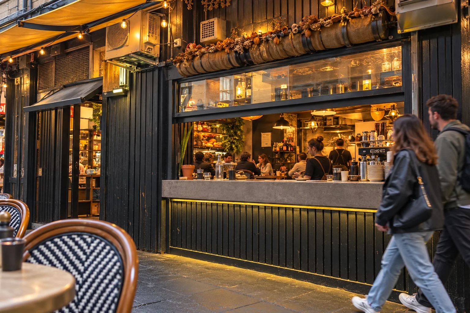
Melbourne's city grid looks very different from inside its lanes. A narrow passage of coffee counters can open onto a busy main street, then another doorway leads into an ornate shopping arcade. The City of Melbourne's Arcades and Lanes walk links these small spaces over roughly 2.4 kilometres, taking in both the everyday café streets and the grand nineteenth-century arcades.
Degraves Street and Centre Place provide the coffee-lane introduction. Tables occupy the narrow streets between small shopfronts, with painted walls and takeaway counters close by. The route continues through Scott Alley, Cathedral Arcade and Manchester Lane, crossing between the larger CBD streets rather than following them for long stretches.
The Block Arcade changes the scale and detail. Its mosaic floor and elaborate shopfronts belong to a more formal kind of shopping promenade. The Royal Arcade has another distinct interior: a high glazed roof, black-and-white floor tiles and figures beside the clock. Moving between these interiors and the plainer lanes is what makes the walk more than a collection of cafés.
The full route continues into the northern lanes; the downloadable city map supplies the sequence and turns. Allow about two hours for the walk, or longer for shopping and a seated meal. Daytime gives the best combination of open businesses and accessible arcades. Some enclosed passages shut outside trading hours, and the route includes outdoor crossings even though sections are covered. Walking is free, with coffee and any purchases extra.
Highlights
- 01
Free self-guided walk
- 02
About 2 hours, plus stops
- 03
A 2.4km city walk through café lanes, mosaic-floored arcades and small shopping passages, starting at Degraves Street.
04 / Before you go
Plan your visit
A 2.4km city walk through café lanes, mosaic-floored arcades and small shopping passages, starting at Degraves Street.
Walking & spending
Free self-guided walk
- Walk
- Free
- Extra
- Coffee, meals and shopping are extra.
Choose your visit
Best in daylight during shop trading hours. Enclosed arcades and individual businesses have their own opening times.
- Time to allow
- About 2 hours, plus stops
- Walking distance
- 2.4km
Start & access
Start at the Flinders Street end of Degraves Street, a short walk west of Flinders Street Station. Walk north through Degraves, then cross Flinders Lane to Centre Place. The pin marks Degraves Street, not a café or a tour guide meeting point.
Degraves Street, Melbourne VIC 3000
Follow the walk
Degraves Street → Centre Place: Enter Degraves from Flinders Street; cross Flinders Lane for Centre Place. Leave café queues clear.
Scott Alley → Cathedral Arcade → Manchester Lane: Follow the city map between these small passages; their entrances are easy to pass on the main streets.
Block Arcade → Royal Arcade: Explore the heritage interiors during opening hours. Allow time for the mosaics and the Royal Arcade clock.
Hardware Lane and the northern lanes: Continue through Warburton Lane, Whitehart Lane, Rankins Lane and Somerset Place, then The Strand and Driver Lane. Finish at Postal Lane beside the former General Post Office.
No booking for the walk. Download the city’s route map before setting off; any restaurant booking is separate.
Accessibility
Expect bluestone paving, narrow passages, kerbs and busy café seating. This is not an audited step-free route; use the main-street alternative if a passage is obstructed or has steps.
Participation requirements
Expect bluestone paving, narrow passages, kerbs and busy café seating. This is not an audited step-free route; use the main-street alternative if a passage is obstructed or has steps.
Location & nearby places
Continue exploring / Melbourne during F1
More to explore
in Melbourne during F1
Find another place for your itinerary, or explore all things to do in Melbourne during F1.
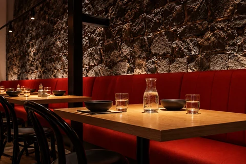 RestaurantsOriental Teahouse CBDDrinks, supplements and surcharges extra.
Price bands per person: $ under A$40 · $$ A$40–79.99 · $$$ A$80–149.99 · $$$$ A$150+.ChineseExplore experience →
 Cafés & bakeriesTime After TimeDrinks, supplements and surcharges extra.
Price bands per person: $ under A$40 · $$ A$40–79.99 · $$$ A$80–149.99 · $$$$ A$150+.Coffee & bakeryExplore experience →
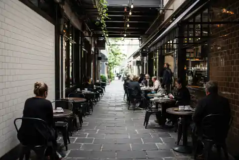 Culture & lanewaysDegraves Street & Centre PlaceExplore experience →
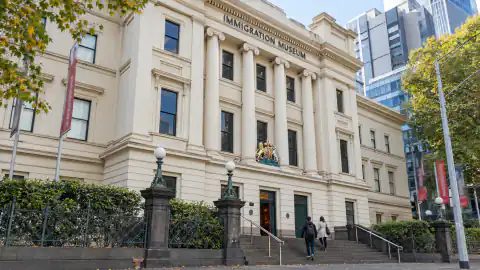 Museums & cultureImmigration MuseumExplore experience →
Good to know
Melbourne laneways & arcades walk: frequently asked questions
How long is the Melbourne laneways and arcades walk?
The Melbourne laneways and arcades route is approximately 2.4 km and takes about two hours. Add time for meals and shopping.
Can I take the Melbourne laneways and arcades walk at night?
The Melbourne laneways and arcades walk uses public streets that remain accessible, but arcades and shops may be closed. Daytime gives you the full experience.
Does the Melbourne laneways and arcades walk include Degraves Street?
Degraves Street and Centre Place are the opening stops on the Melbourne laneways and arcades walk, which continues through the CBD’s arcades and northern lanes.