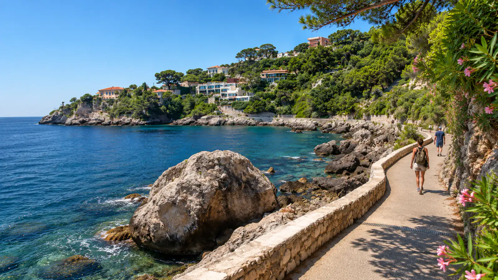
Cap-d’Ail coastal path from Marquet to La Mala
Follow the Mediterranean between Marquet and La Mala via the volcanic rocks of Pointe des Douaniers.
01 / The experience
Cap-d’Ail coastal path from Marquet to La Mala
The path from Marquet to La Mala stays close to the sea as it rounds the headlands west of Monaco. From Marquet Beach it passes gardens and villas before reaching the Pointe des Douaniers. Here the dark andesite is a change from the pale rock elsewhere along the coast. The tourism office traces it to volcanic activity tens of millions of years ago. Farther along, the shore curves towards the steep sides of La Mala’s cove.
There are places to pause along the route, so the one-hour walk can easily become a longer outing with lunch or a swim. The coast path itself is about 3.5 kilometres. It has steps and some exposed stretches. Start at Marquet if you are coming from Monaco and want to walk west. Cap-d’Ail station offers an arrival or return option partway along the coast.
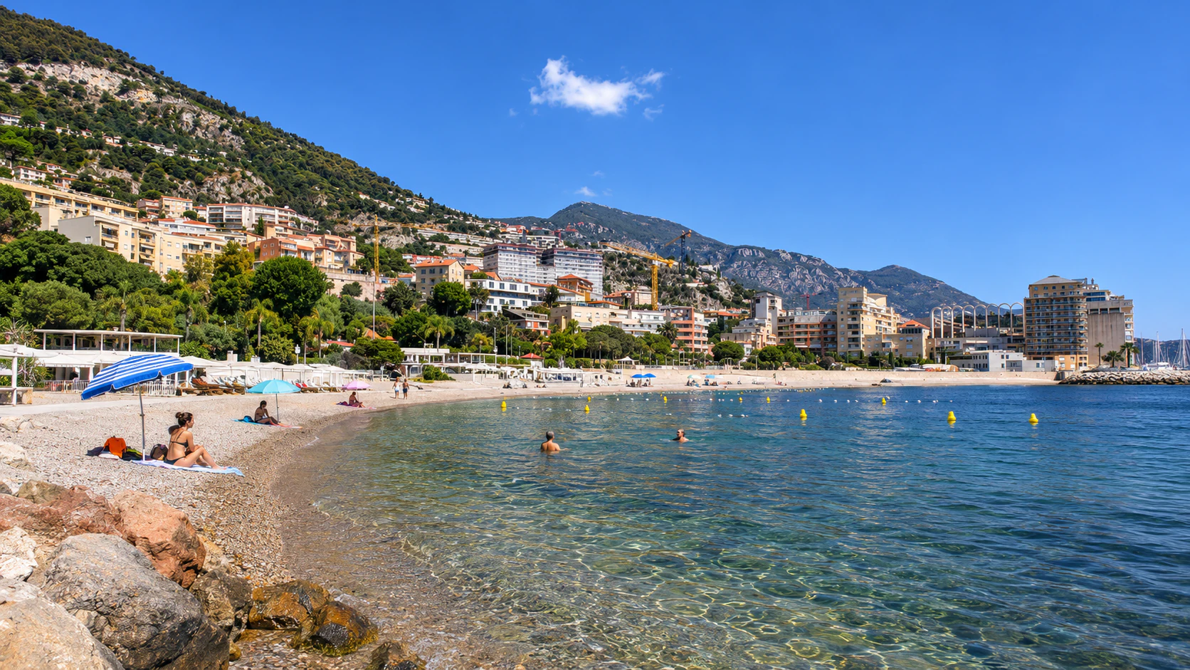
La Mala and Marquet are both swimming stops when conditions permit. The path can close during bad weather. Keep any trip up to Tête de Chien separate in your plans. That viewpoint lies high above the coast and uses a different trailhead.
04 / Before you go
Plan your visit
Prices and options
- Coastal path
- Free. No reservation. Parking at Marquet Beach is paid.
Season and timing
Public footpath. Sections can close in bad weather. Follow local signs and closures.
Getting there
Avenue Marquet, 06320 Cap-d’Ail, France
From Monaco start at the west end of Avenue Marquet beside the beach. For a shorter walk, join the path from Cap-d’Ail station.
Arrange your visit
The route has steps. Wear flat shoes suitable for the coastal path.
Check local signs for closures in bad weather.
Swimming at Marquet or La Mala depends on conditions.
Location & nearby places
Continue exploring / Monaco
More to explore
in Monaco
Find another place for your itinerary, or explore all things to do in Monaco.
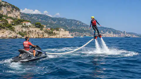 Water & adventureFlyboard at Port de Cap-d’AilExplore experience →
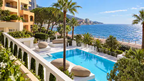 Wellness & spaPool and Fitness at Columbus Monte-CarloExplore experience →
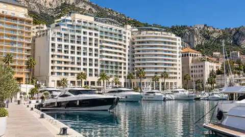 Boats & sailingBoat hire and day trips from Cap-d’AilExplore experience →
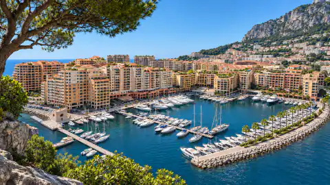 NeighbourhoodsFontvieilleExplore experience →
Good to know
Cap-d’Ail coastal path from Marquet to La Mala: frequently asked questions
How long is the Cap-d’Ail coastal path from Marquet to La Mala?
The Marquet-to-La Mala coastal path is about 3.5 kilometres and one hour one way, before stops.
Can I start the Cap-d’Ail coastal path from Monaco?
Yes. Walk from Fontvieille to Marquet Beach and follow the Cap-d’Ail coastal path west.
Can I use the train for the Cap-d’Ail coastal path?
Cap-d’Ail station is near the coastal path and can be used for arrival or return.
Is the Cap-d’Ail coastal path always open?
The Cap-d’Ail coastal path can close in bad weather. Follow any closures on the route.